





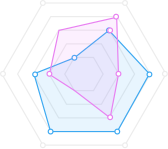
Soil pH
Nitrogen
Potassium
Organic
Moisture
Aeration

Trusted by Global Company


Monitor crops, predict yields, detect diseases early, and optimize every farming operation with intelligent agriculture technology designed for modern growers.
Get startedHigher Yield
Save Water
Crop Health
Soil pH
Nitrogen
Potassium
Organic
Moisture
Aeration
| Zone | Goal | Disturbance | RX |
|---|---|---|---|
| Zone 1 | 213 | Insect (4%) | 120 |
| Zone 2 | 74 | Insect (4%) | 100 |
| Zone 3 | 123 | Insect (4%) | 90 |
| Zone 4 | 94 | Insect (4%) | 112 |
Crop Health
Updated 2h ago


98% HEALTH SCORE
LIVE MONITORING
Stress Detected
Crop Health alert
Jul 7 , 2026

80%
Success rate
Optimize my farm
Weather Intelligence


24°
100%

70%

50%

About us
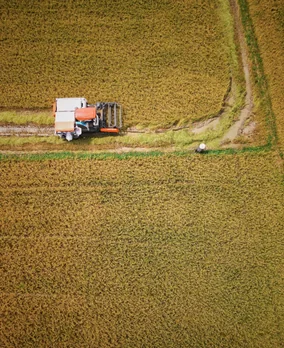
Our AI platform transforms satellite imagery, drone data, weather forecasts, and field sensors into actionable insights.
FIELD GOALS
 Higher Yield
 Save Water
 Crop Health
 Reduce Cost
FARM OVERVIEW
1,250
Acres Monitored
24
Active Fields
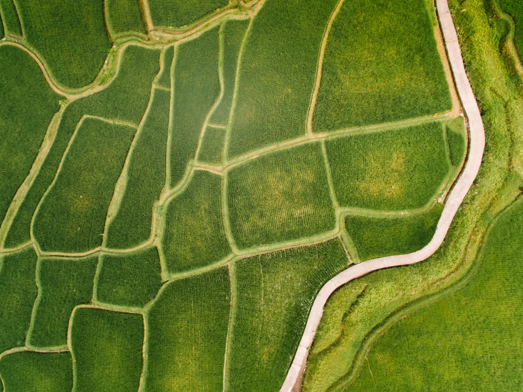
Agriculture Zone 1
 Identified:
Jun 7 - Jul 7 , 2026
Identified:
Jun 7 - Jul 7 , 2026
 Parameters
1.4 - 1.8 T/ac
Parameters
1.4 - 1.8 T/ac
Agriculture Zone 2
Identified:
Jun 7 - Jul 7 , 2026
Parameters
0.9 - 1.2 T/ac
Agriculture Zone 3
Identified:
Jun 7 - Jul 7 , 2026
Parameters
1.1 - 1.5 T/ac
Agriculture Zone 4
Identified:
Jun 7 - Jul 7 , 2026
Parameters
1.0 - 1.3 T/ac
Agriculture Zone 5
Identified:
Jun 7 - Jul 7 , 2026
Parameters
0.8 - 1.1 T/ac
Agriculture Zone 6
Identified:
Jun 7 - Jul 7 , 2026
Parameters
1.0 - 1.4 T/ac
Agriculture Zone 7
Identified:
Jun 7 - Jul 7 , 2026
Parameters
0.9 - 1.3 T/ac
Agriculture Zone 8
Identified:
Jun 7 - Jul 7 , 2026
Parameters
1.5 - 1.9 T/ac
Connect your farm, let AI analyze crop and environmental conditions, and receive clear recommendations that help you respond faster, use resources efficiently, and improve every growing season.
We help you understand what’s happening, anticipate what’s next, and take action with confidence.
OPTIMIZE MY FARM
Step 01
Integrate drone imagery, IoT sensors, satellite data, or upload field information.

Step 02
Models cross-check crop, soil, and weather signals to flag what needs your attention first.
Step 03
Receive prioritized recommendations for irrigation, treatment, and harvest timing.
Pricing plans
For small farms getting started with smarter crop monitoring.
$49/month
Get startedFor growing operations that need deeper insights and greater control.
$129/month
Get startedFor large agricultural operations managing multiple farms at scale.
$199/month
Get started
CUSTOMER STORIES

Bread and co
Ahead of it !
“We used to find problems when they were already spreading. Now the platform flags the stressed acres while there is still time to treat them, and the weekly report tells me exactly where to walk first. We have not lost a block to disease since.”

Umbrella
No guesswork !
“Irrigation used to be a guess. The recommendations tell us which zones actually need water and how much, and we have cut our use by nearly a third without losing an acre of yield. The pump schedule practically writes itself.”
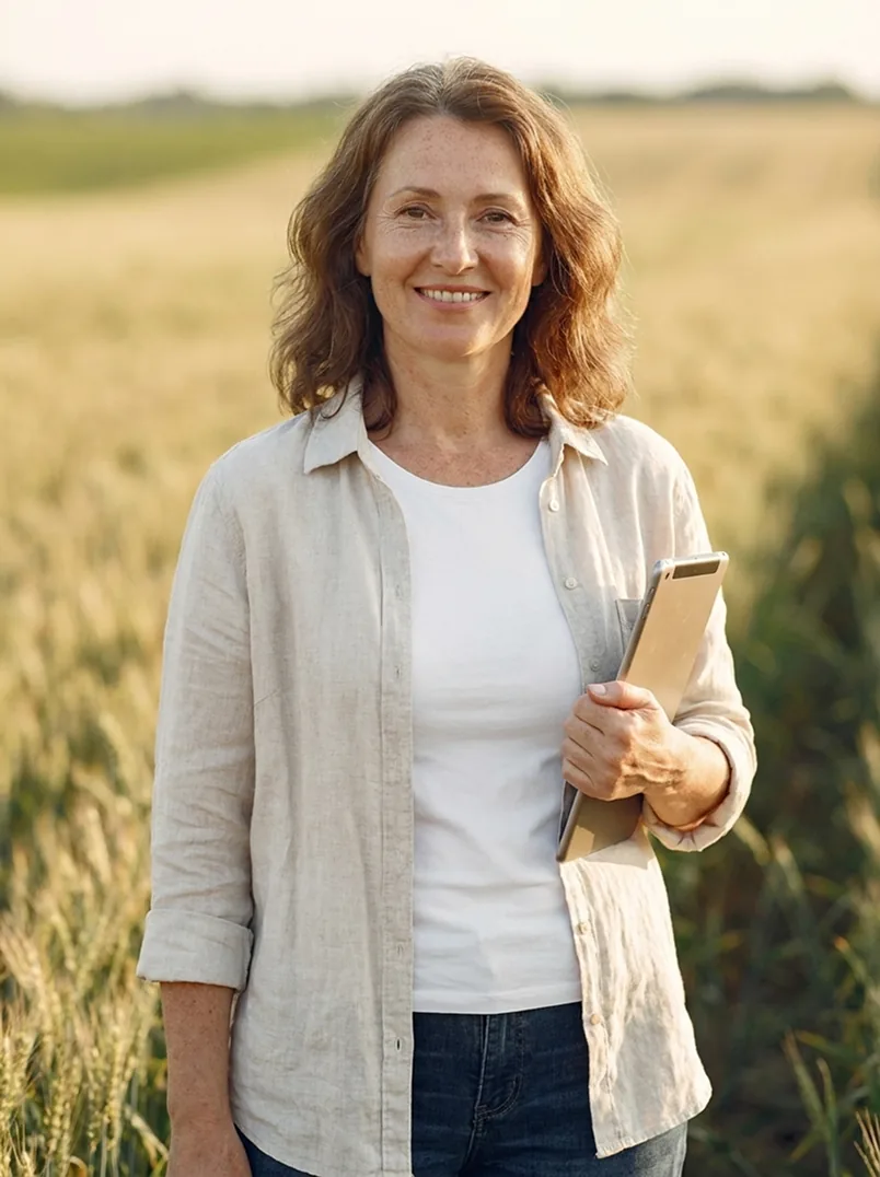
Bread and co
Spot on !
“The yield forecast has been close enough to plan the whole season around. We book harvest crews and storage weeks earlier than we used to, and the weather alerts caught two spray windows we would have missed.”
FAQ
AI analyzes satellite images, drone footage, sensor data, and weather information to detect changes in crop conditions and identify potential issues before they become visible.
No. atniily works with satellite imagery from the first day, and connects to the drones, sensors, and weather stations you already use — there is no hardware to buy to get started.
Yes. Yield forecasts combine the history of each field with current crop, soil, and weather signals, and they update through the season as new data comes in.
Your data is encrypted in transit and at rest, stays tied to your account, and is never sold. You decide who on your team can see each field.
Yes. The models cover row crops, orchards, and specialty crops, and adapt to the varieties, planting dates, and goals you set for each field.


